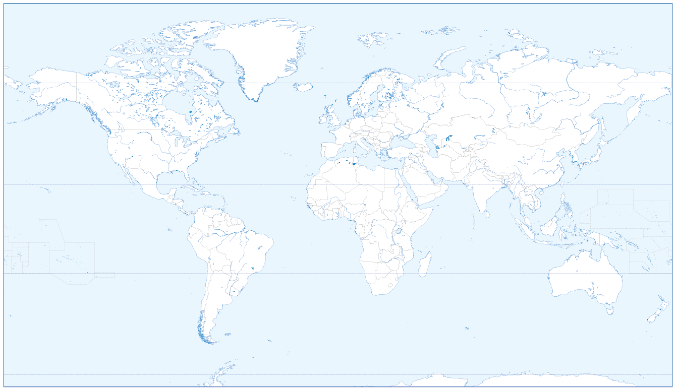
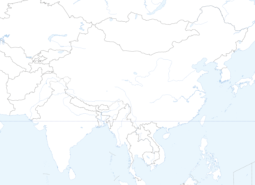
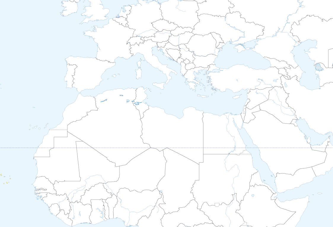
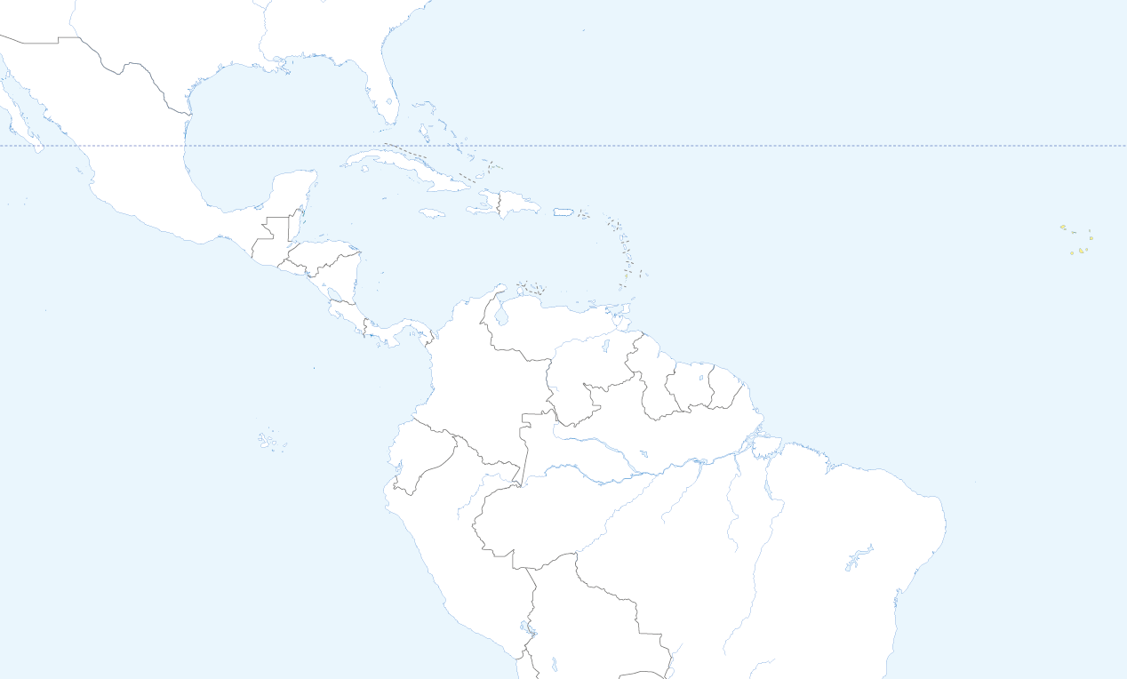
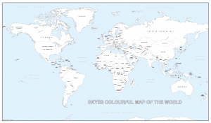
Large world outline map with country borders and rivers
Price range: £20.99 through £67.99
Description
Description
Buy this detailed world outline map and make learning fun and creative. With no names included you can use as a tool to help teach the location of countries and rivers adding detail and colouring as you wish. Choose the version you want, a map with or without country borders shown. Available on a heavy matt paper or with a gloss laminate applied so you can use stickers or dry markers and wash off and start again. We can supply mounted on a foam-x board so you can hang in your home, or classroom. FREE delivery in the UK , please request a price for shipping outside of the UK.
We can adapt the map further if you wish. For example no sea colour, add the lines of longitude and latitude or include state and province boundaries. If you require more information on this please contact us so we can give you the best price.
Size 1020 x 595mm.
Additional information
Additional information
| Weight | N/A |
|---|---|
| Choose version | Country borders and rivers, Country borders only, Rivers only |
| Version | Blue Sea – matt paper, Gloss laminated, Mounted and laminated |
Reviews (0)
Related products
-
Giant detailed world colouring map
Price range: £22.99 through £120.00 Select options This product has multiple variants. The options may be chosen on the product page -
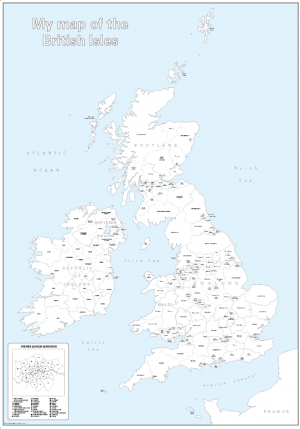
Large personalised Britain and Ireland counties colouring map
Price range: £25.99 through £73.99 Select options This product has multiple variants. The options may be chosen on the product page -
Big personalised world colouring map
Price range: £21.49 through £44.49 Select options This product has multiple variants. The options may be chosen on the product page -
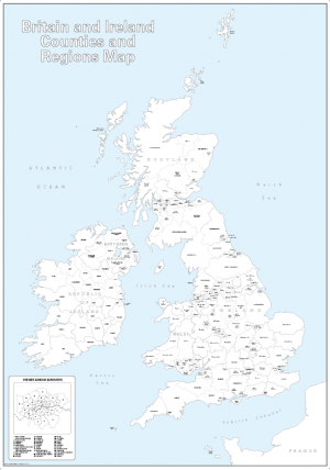
Large Britain and Ireland colouring map
Price range: £19.99 through £66.99 Select options This product has multiple variants. The options may be chosen on the product page
Reviews
There are no reviews yet.