British Isles and UK maps
Showing 21–40 of 40 results
-
Large Britain and Ireland colouring map
Price range: £19.99 through £66.99 Select options This product has multiple variants. The options may be chosen on the product page -
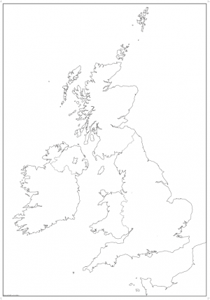
Large British Isles map outline with borders
Price range: £12.99 through £19.99 Select options This product has multiple variants. The options may be chosen on the product page -
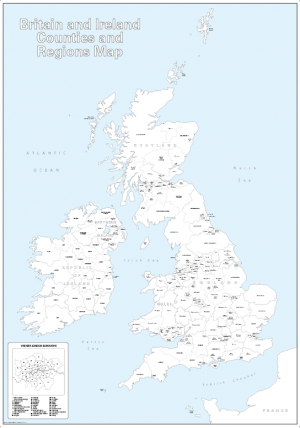
Large personalised Britain and Ireland counties colouring map
Price range: £25.99 through £73.99 Select options This product has multiple variants. The options may be chosen on the product page -
Personalised Black and White Map of the British Isles
Price range: £26.99 through £75.49 Select options This product has multiple variants. The options may be chosen on the product page -
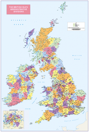
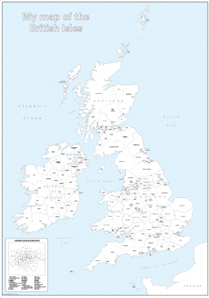
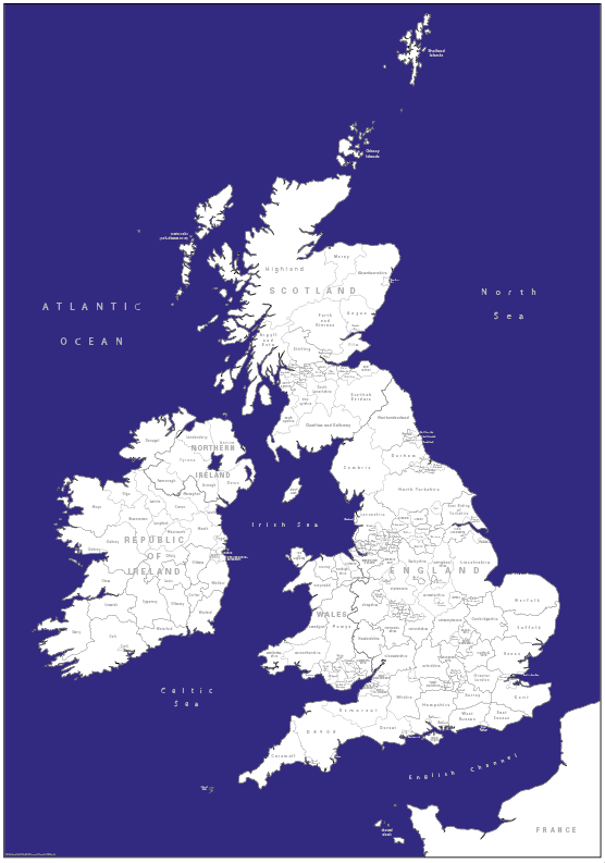
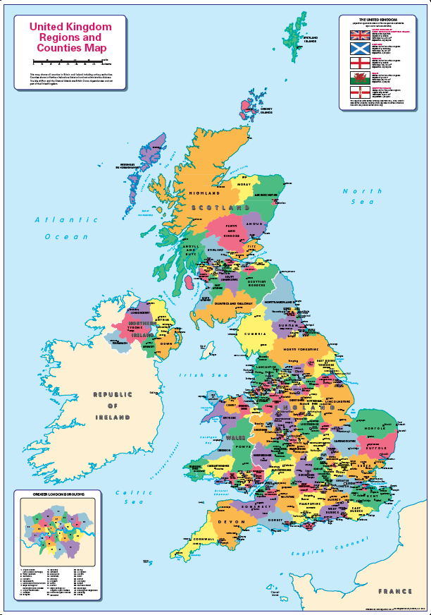
Personalised British Isles Administrative Divisions map
Price range: £37.19 through £153.00 (Inc VAT) Select options This product has multiple variants. The options may be chosen on the product page -
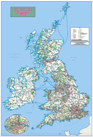
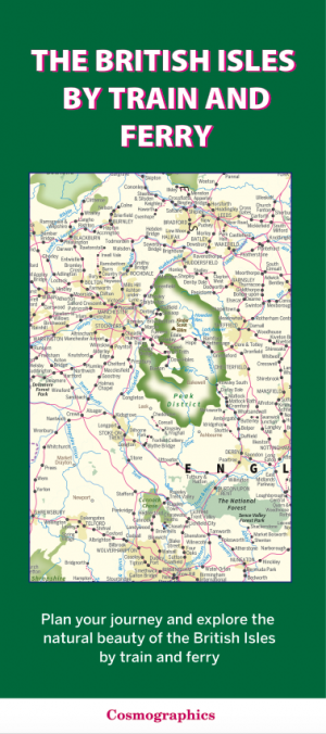
Personalised British Isles by Train and Ferry wall map
Price range: £37.19 through £153.00 (Inc VAT) Select options This product has multiple variants. The options may be chosen on the product page -
Personalised British Isles map with Greater London inset (road distance charts optional)
Price range: £37.19 through £153.00 (Inc VAT) Select options This product has multiple variants. The options may be chosen on the product page -
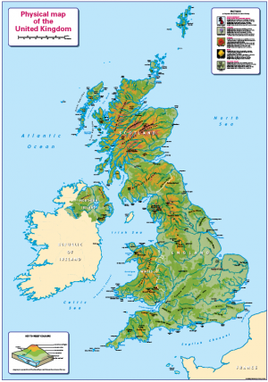
Physical Map of the United Kingdom – small
Price range: £10.99 through £29.99 Select options This product has multiple variants. The options may be chosen on the product page -
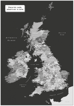
Retro British Isles counties Map – retro colours
Price range: £19.99 through £49.49 Select options This product has multiple variants. The options may be chosen on the product page -
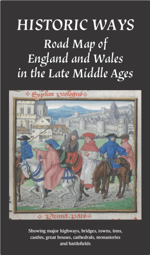
Road map of England and Wales in the Late Middle Ages c.1450 – 1500 (folded map)
£16.49 Add to basket -

Road map of England and Wales in the Late Middle Ages c.1450 – 1500 (wall map)
Price range: £24.99 through £80.49 Select options This product has multiple variants. The options may be chosen on the product page -
Set of 2 Children’s UK maps
Price range: £27.99 through £127.00 Select options This product has multiple variants. The options may be chosen on the product page -
Set of 3 Children’s UK maps
Price range: £39.99 through £165.99 Select options This product has multiple variants. The options may be chosen on the product page -
Set of 4 Children’s UK maps
Price range: £54.99 through £242.00 Select options This product has multiple variants. The options may be chosen on the product page -
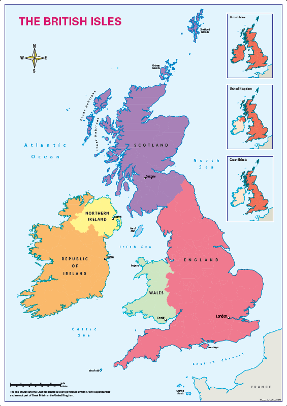
The British Isles
Price range: £4.99 through £27.50 Select options This product has multiple variants. The options may be chosen on the product page -
The British Isles by Train and Ferry – folded map (free delivery)
£11.99 Add to basket -
Sale!
The British Isles by Train and Ferry map and Road map of England and Wales in the Late Middle Ages c.1450 – 1500 (folded maps)
Original price was: £28.49.£23.00Current price is: £23.00. Add to basket -
The British Isles by Train and Ferry sheet map (free delivery)
£18.99 Add to basket -
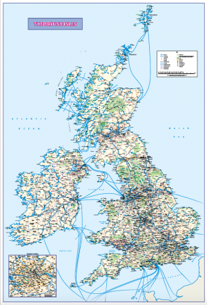
The British Isles by Train and Ferry wall map
Price range: £18.99 through £115.50 Select options This product has multiple variants. The options may be chosen on the product page -
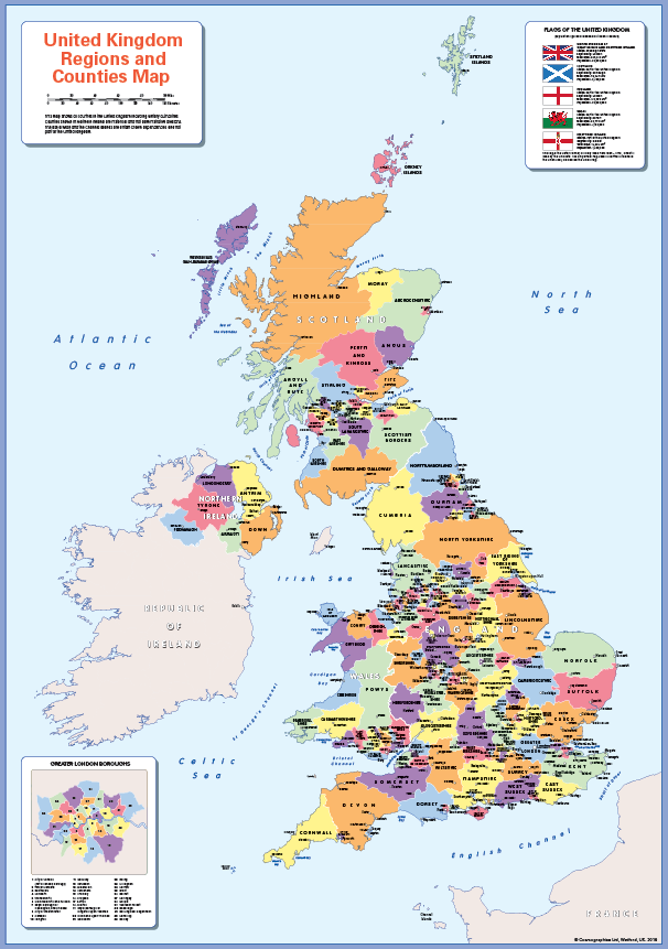
United Kingdom counties and regions map – small
Price range: £10.99 through £29.55 Select options This product has multiple variants. The options may be chosen on the product page