The British Isles by Train and Ferry wall map
£18.99 – £115.50
Description
Description
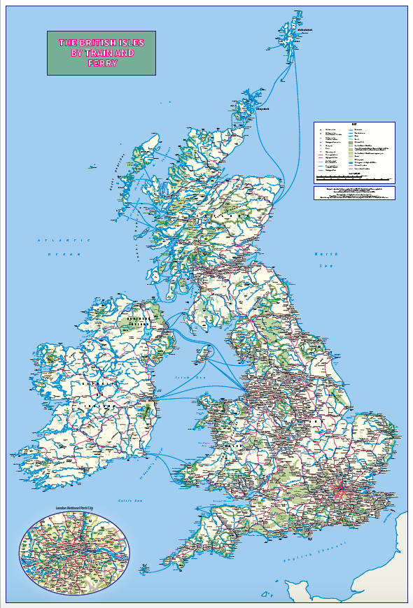
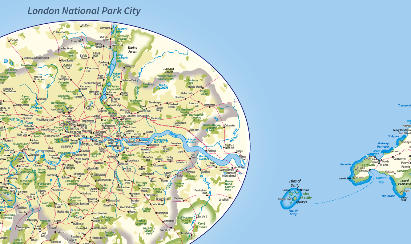
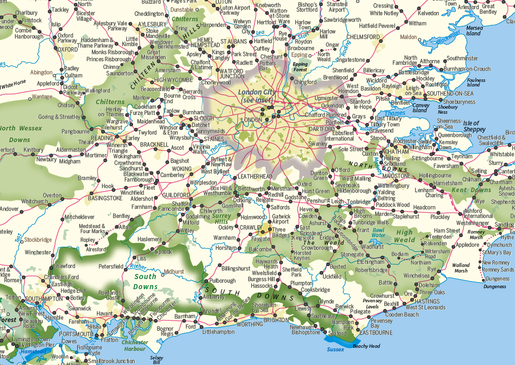
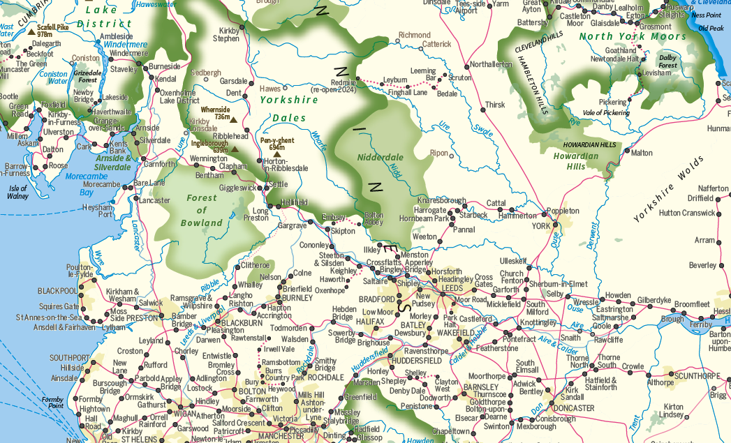
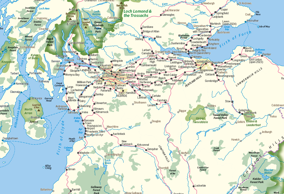
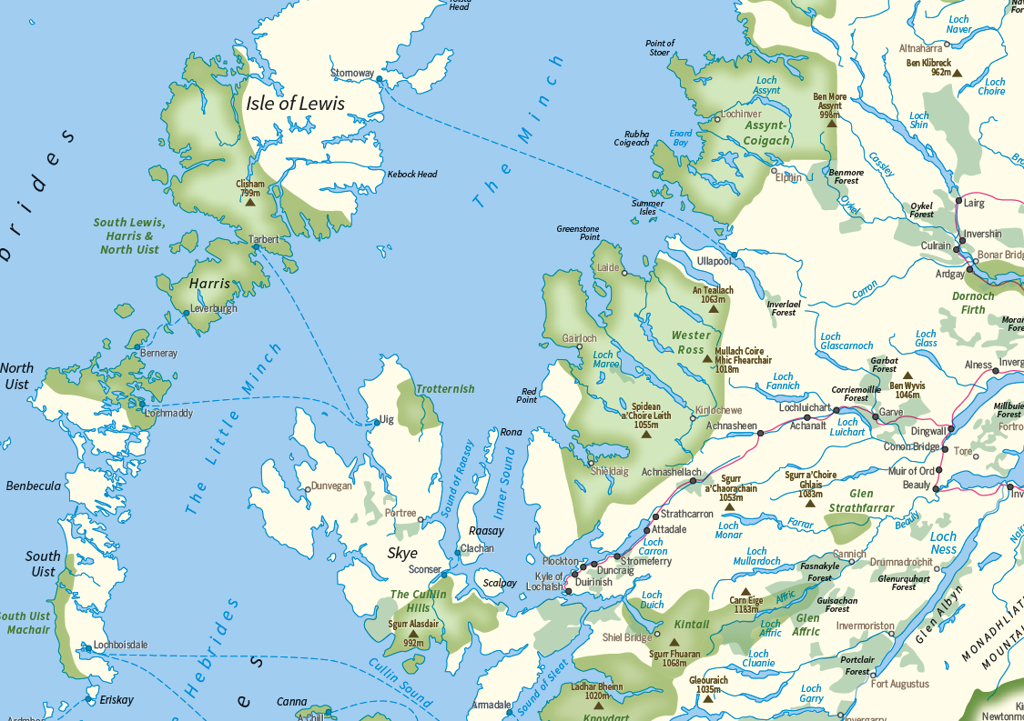
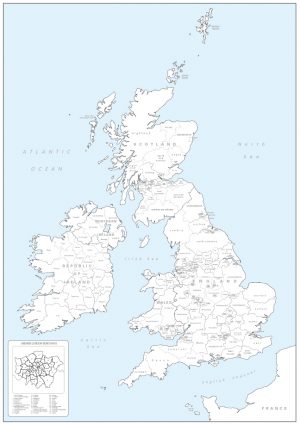
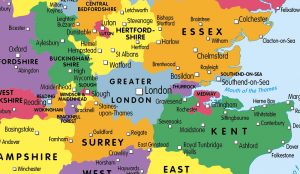
Plan your journey and explore the British Isles by train and ferry. This attractive, detailed map shows how the rail network, along with ferries to the more isolated areas, allows you to travel to places right across the British Isles and take in the beautiful scenery. The map clearly shows National Parks, Areas of Outstanding Natural Beauty, forest and woodland areas and the Heritage Coast in England and Wales, much of which is accessible by train and ferry. The rail network includes seasonal and heritage railways. There is also a more detailed map of the London National Park City, the world’s first National Park City. Designed to be fully inclusive and accessible for everyone, including those with colour vision deficiency (CVD).
Map includes:
* Passenger rail network with the majority of stations.
* Seasonal and heritage railways
* Ferry routes
* National Parks
* Areas of Outstanding Natural Beauty
* Main forest and woodland areas
* Heritage coast in England and Wales
Size 745mm x 11oomm. Scale 1: 1,250,000
This map is updated on a regular basis and therefore printed on demand. Options are available for paper, laminated, canvas and mounted prints. Contact us for different sizes, encapsulated or framed canvas prints. Personalised versions available see listing.
Additional information
Additional information
| Weight | 9.75 kg |
|---|---|
| Please Select | Canvas (rolled), Gloss laminated (with free stickers), Laminated and mounted on 5mm Foam-X board, Laminated and mounted on 5mm Foam-X board with wall hangers, Matt laminated (with free stickers), Matt paper, Satin photo paper |
Reviews (0)
Related products
-
British Isles counties colouring map
£21.99 Select options This product has multiple variants. The options may be chosen on the product page -
Britain and Ireland counties and regions map – small
£10.99 – £29.99 Select options This product has multiple variants. The options may be chosen on the product page -
Children’s Physical Map of the United Kingdom
£14.99 – £65.49 Select options This product has multiple variants. The options may be chosen on the product page -
Children’s Travel map of the United Kingdom
£14.99 – £65.49 Select options This product has multiple variants. The options may be chosen on the product page
Reviews
There are no reviews yet.