
Children’s Physical Map of the United Kingdom
£14.99 – £65.49
Description
Description
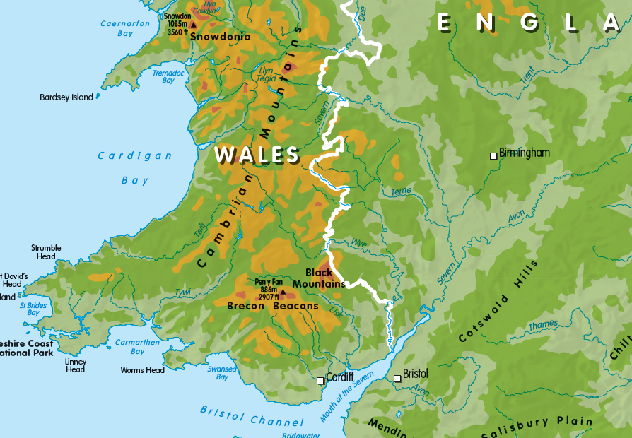
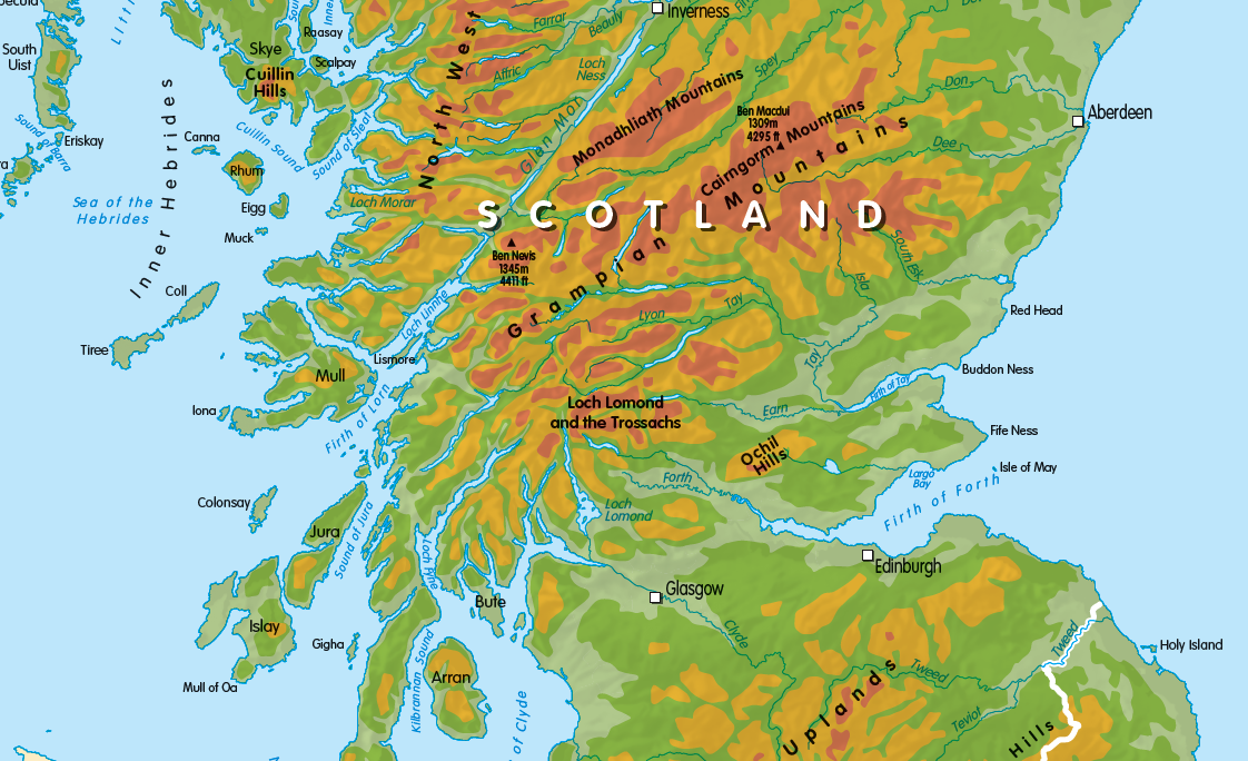
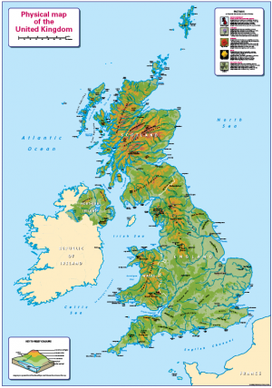
A colourful, easy to read map showing the main physical features in the UK, plus some useful facts. Includes contours heights, and hills, mountain ranges and main rivers. It is colour blind friendly and so ideal for the home or school classroom. Contact us for encapsulated or framed canvas prints.
Size 910 x 640mm
Additional information
Additional information
| Weight | 6 kg |
|---|---|
| Please Select | Canvas (rolled), Laminated and mounted on 5mm Foam-X board, Laminated and mounted on 5mm Foam-X board with wall hangers, Laminated print (with free stickers), Matt paper, Satin photo paper |
| Lamination (if laminated print is chosen) | Gloss, Matt, None |
Reviews (0)
Related products
-
Black and White Map of the British Isles – canvas
£70.00 Select options This product has multiple variants. The options may be chosen on the product page -
Large Britain and Ireland colouring map
£19.99 – £66.99 Select options This product has multiple variants. The options may be chosen on the product page -
Physical Map of the United Kingdom – small
£10.99 – £29.99 Select options This product has multiple variants. The options may be chosen on the product page -
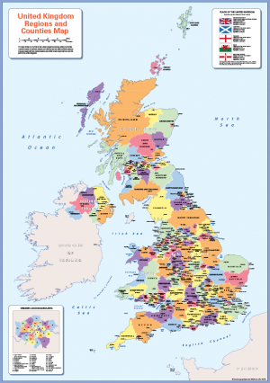
Counties map of the United Kingdom – small
£10.99 – £29.99 Select options This product has multiple variants. The options may be chosen on the product page
Reviews
There are no reviews yet.