
Set of 6 Children’s political continental maps
Price range: £129.98 through £376.99
Description
Description
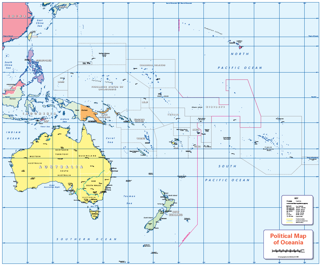
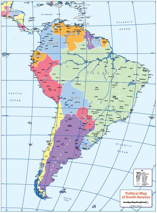
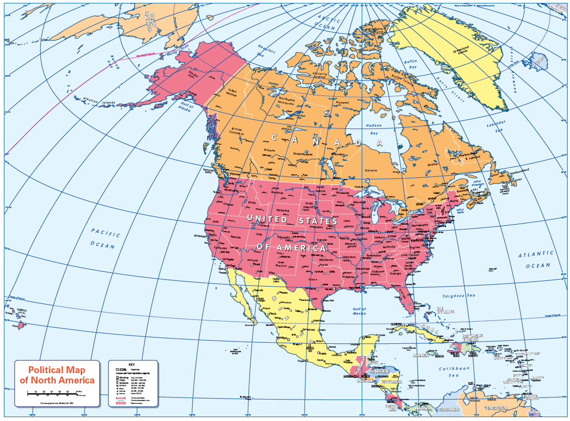
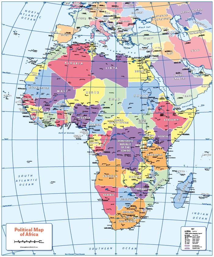
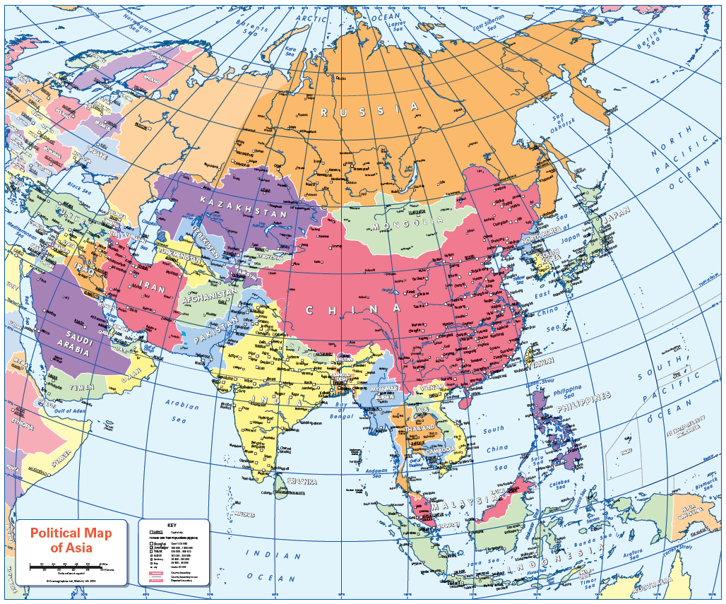
A set of six colourful, colour blind friendly, easy to read political continental maps. Maps of Europe, North America, South America, Africa, Asia and Oceania showing country borders, states, provinces, capitals and a selection of cities and towns. Ideal for the school classroom. Contact us for encapsulated or laminated prints.
Sizes: 905 x 668mm and 910 x 640mm
Additional information
Additional information
| Weight | 6 kg |
|---|---|
| Please Select | Laminated and mounted on 5mm Foam-X board, Laminated print, Matt paper, Satin photo paper |
| Lamination (if laminated print is chosen) | Gloss, Matt, None |
Reviews
There are no reviews yet.