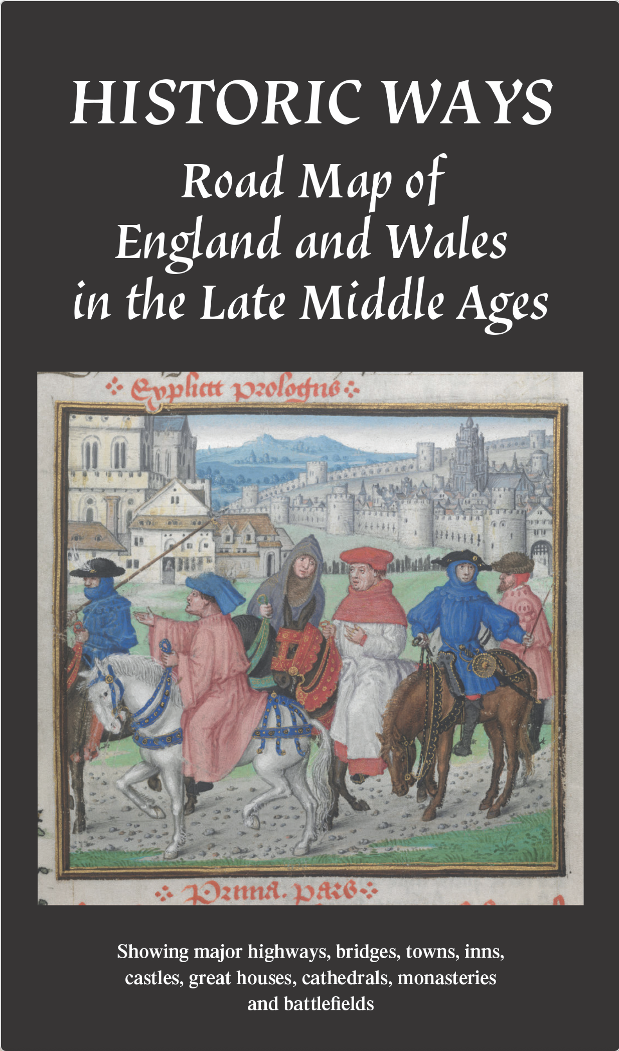
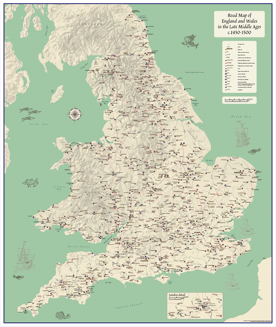
Road map of England and Wales in the Late Middle Ages c.1450 – 1500 (folded map)
£16.49
10 in stock
Description
Description
Road map of England and Wales in the Late Middle Ages c.1450 – 1500
Use this map to explore the Middle Ages. A must for lovers of medieval history and historians.
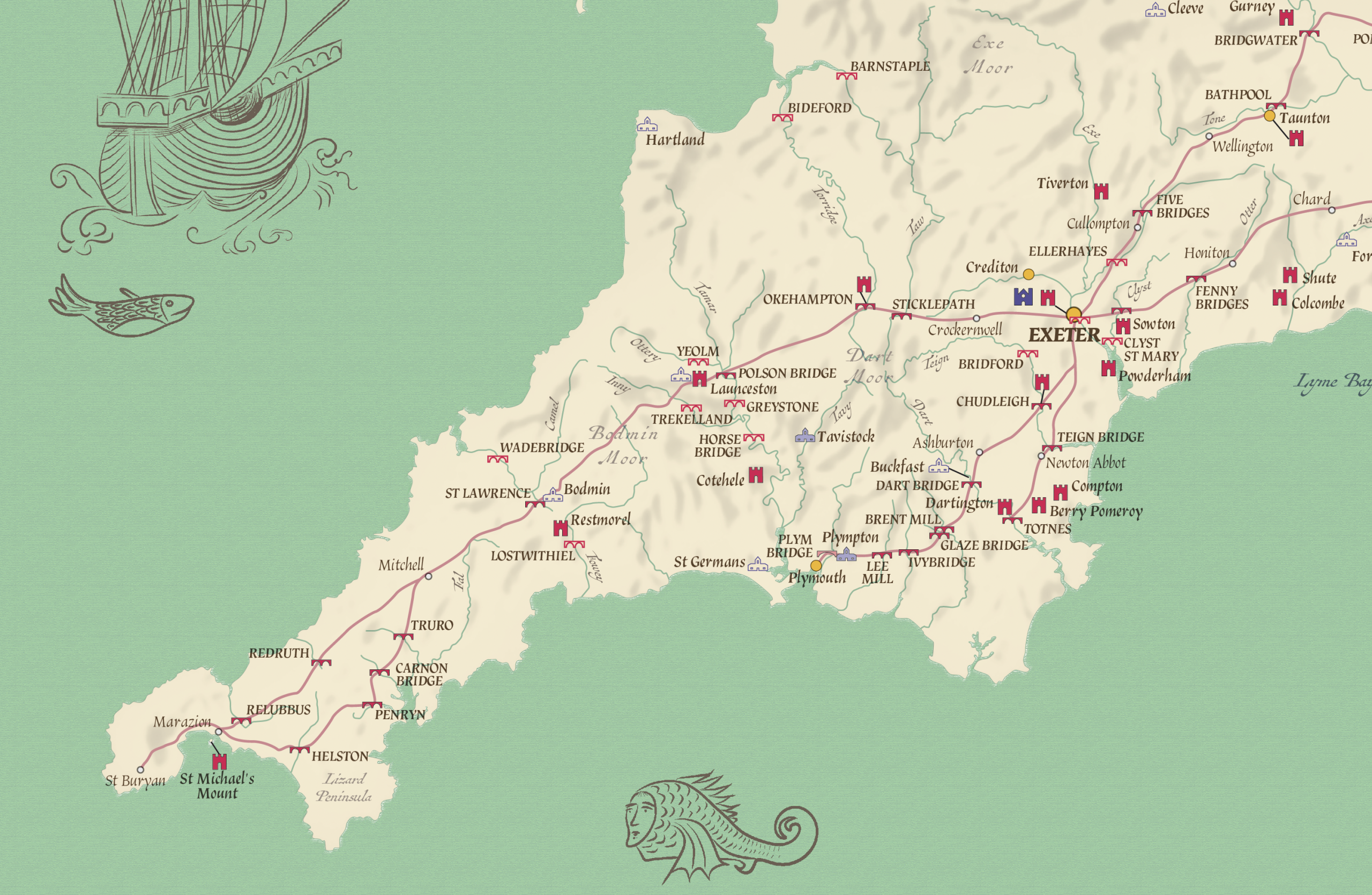
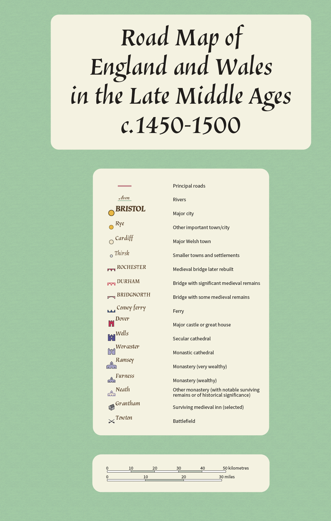
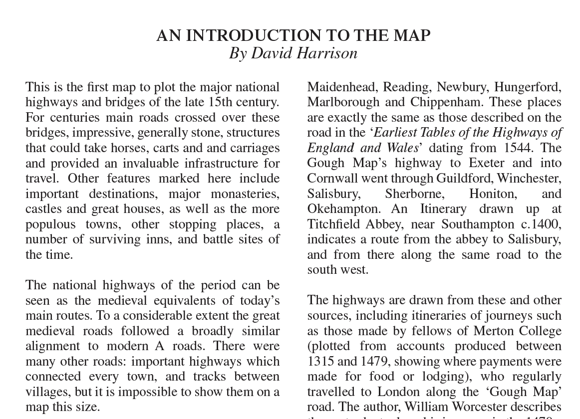
A double sided folded the main map is an informative road map of England and Wales in the Late Middle Ages in an attractive design inspired by the Gough map. The map shows the major roads used to travel in England and Wales c.1450 – 1500 with easy to read, clear symbology.
Map includes:
* Major Highways
* Bridges
* Towns
* Castles
* Great Houses
* Monasteries
* Cathedrals
* Inns
* Battlefields
Scale 1: 800,000
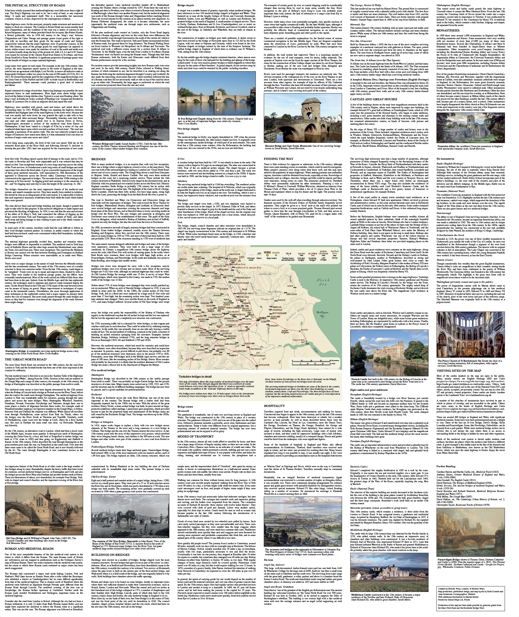
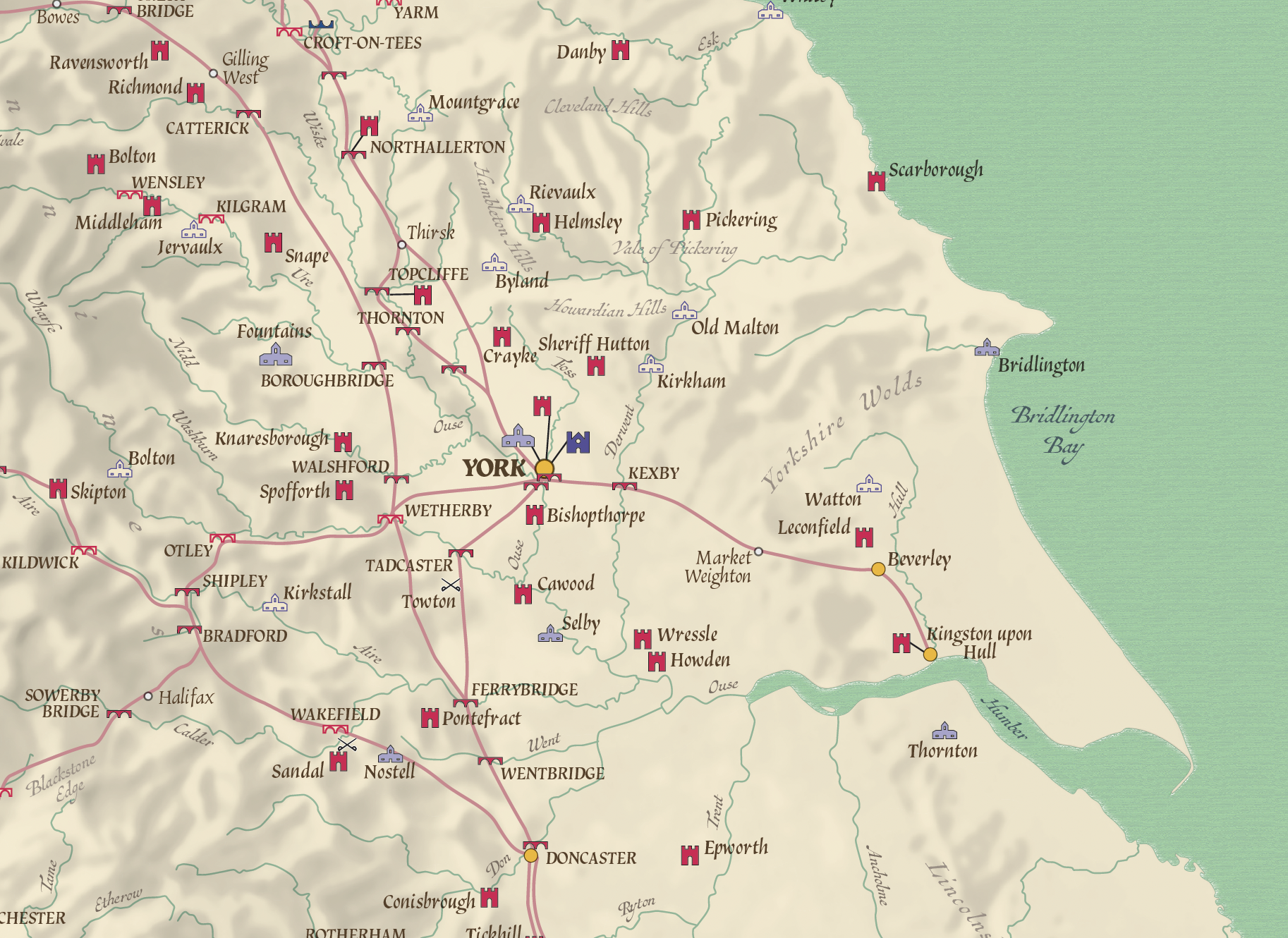
The reverse side is a mix of meticulously researched information, photographs and pictures of a selection of locations and also an enlarged map of the Yorkshire area.
Developed by the Publisher Historic Ways (Author – David Harrison), this has been a lifetimes work. Plan your next journey from your home or office and visit the locations.
Folded map size (not cover size) 125mm x 222.5mm. Flat sheet size 750mm x 890mm.
Delivery is included in the price.
The main map is also available as a wall map. We can supply printed on different paper types, laminated (matt or gloss), canvas (rolled or framed) and mounted on 5mm Foam-X board.
As the maps are printed on demand so we can print at different sizes and customise to suit your needs. Contact us for more details.
Looking for something to promote your brand or business or a unique gift then consider our personalised prints (for example, we can add your company logo and details or change the title to something more personal).
Contact us if you would like more information.
Additional information
Additional information
| Weight | .1 kg |
|---|
Reviews (0)
Related products
-
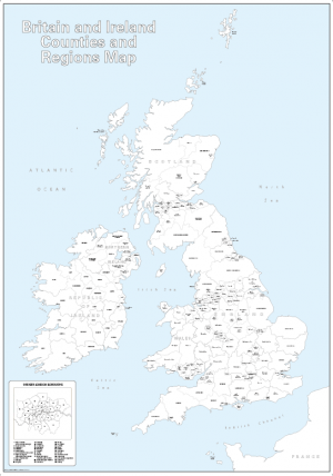
Retro British Isles counties Map – retro colours
Price range: £19.99 through £49.49 Select options This product has multiple variants. The options may be chosen on the product page -
British Isles counties colouring map (self adhesive textile)
£22.99 Select options This product has multiple variants. The options may be chosen on the product page -
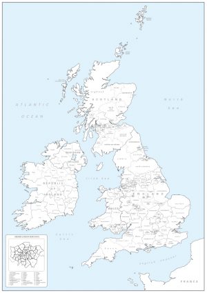
Big Britain and Ireland counties and regions colouring map
Price range: £15.99 through £39.99 Select options This product has multiple variants. The options may be chosen on the product page -
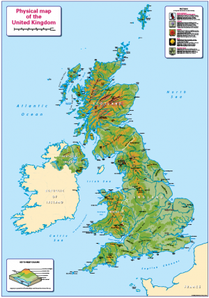
Children’s Physical Map of the United Kingdom
Price range: £14.99 through £65.49 Select options This product has multiple variants. The options may be chosen on the product page
Reviews
There are no reviews yet.