Personalised GB Map with road distance chart 1000 x 1387mm
£55.98 – £64.98
Description
Description
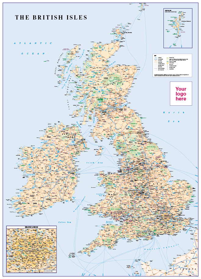
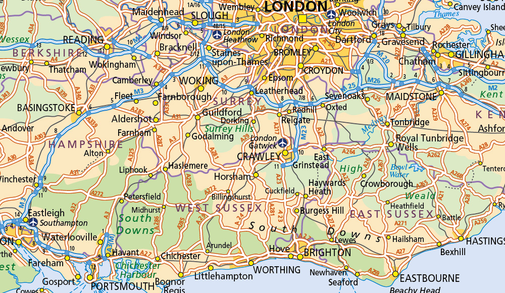
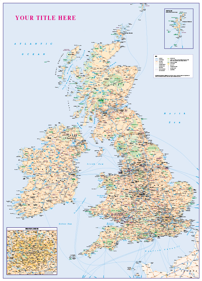
Get your brand in front of your customers. Personalise our useful, attractive map of Great Britain showing counties, main roads, railways and ferries , towns and cities by population, National Parks and areas of outstanding natural beauty. Give us your map title of choice or supply a picture/logo and will personalise the map just for you. Also has a useful road distance chart. Contact us for different sizes and more printing options. Ideal for the office, home or classroom.
Size 1000 x 1387mm
Additional information
Additional information
| Weight | 9 kg |
|---|---|
| Please Select | 1000 x 1387mm Canvas, 1000 x 1387mm Paper Matt, 1000 x 1387mm Paper Satin |
Reviews
There are no reviews yet.