Children’s political map of Canada and the USA
Price range: £29.98 through £70.49
Description
Description
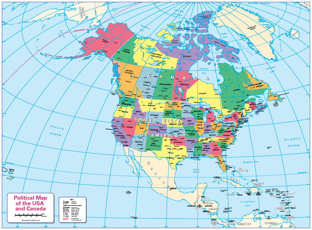
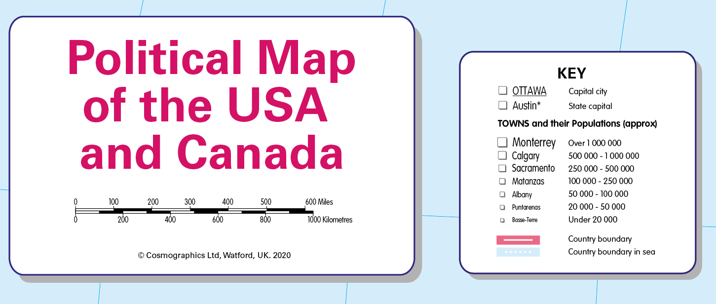
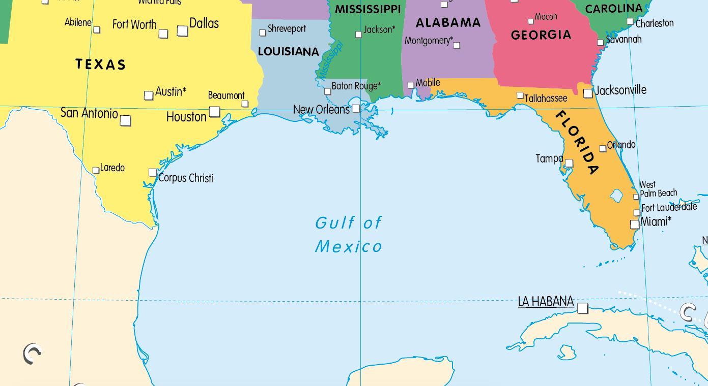
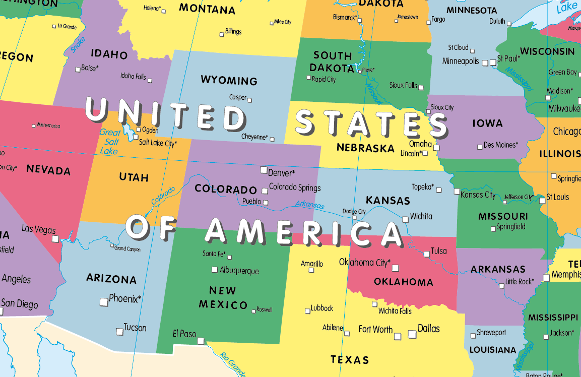
A colourful, easy to read map of Canada and the USA showing provinces and states, state capitals and a selection of cities and main towns. Contact us for encapsulated or framed canvas prints.
Size 905 x 668mm
Additional information
Additional information
| Weight | 6 kg |
|---|---|
| Please Select | Canvas (rolled), Laminated and mounted on 5mm Foam-X board, Laminated print, Matt paper, Satin photo paper |
| Lamination (if laminated print is chosen) | Gloss, Matt, None |
Reviews
There are no reviews yet.