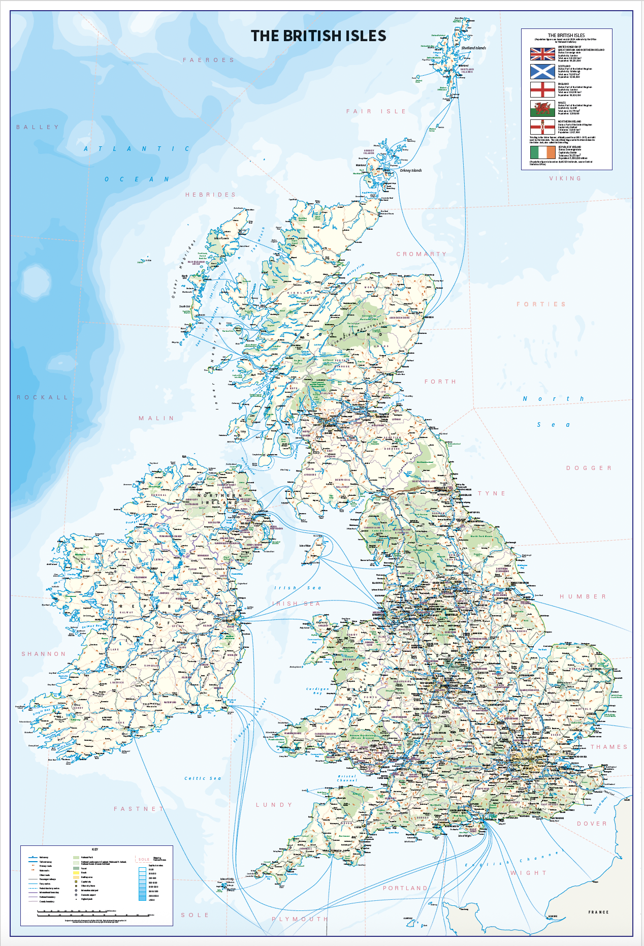
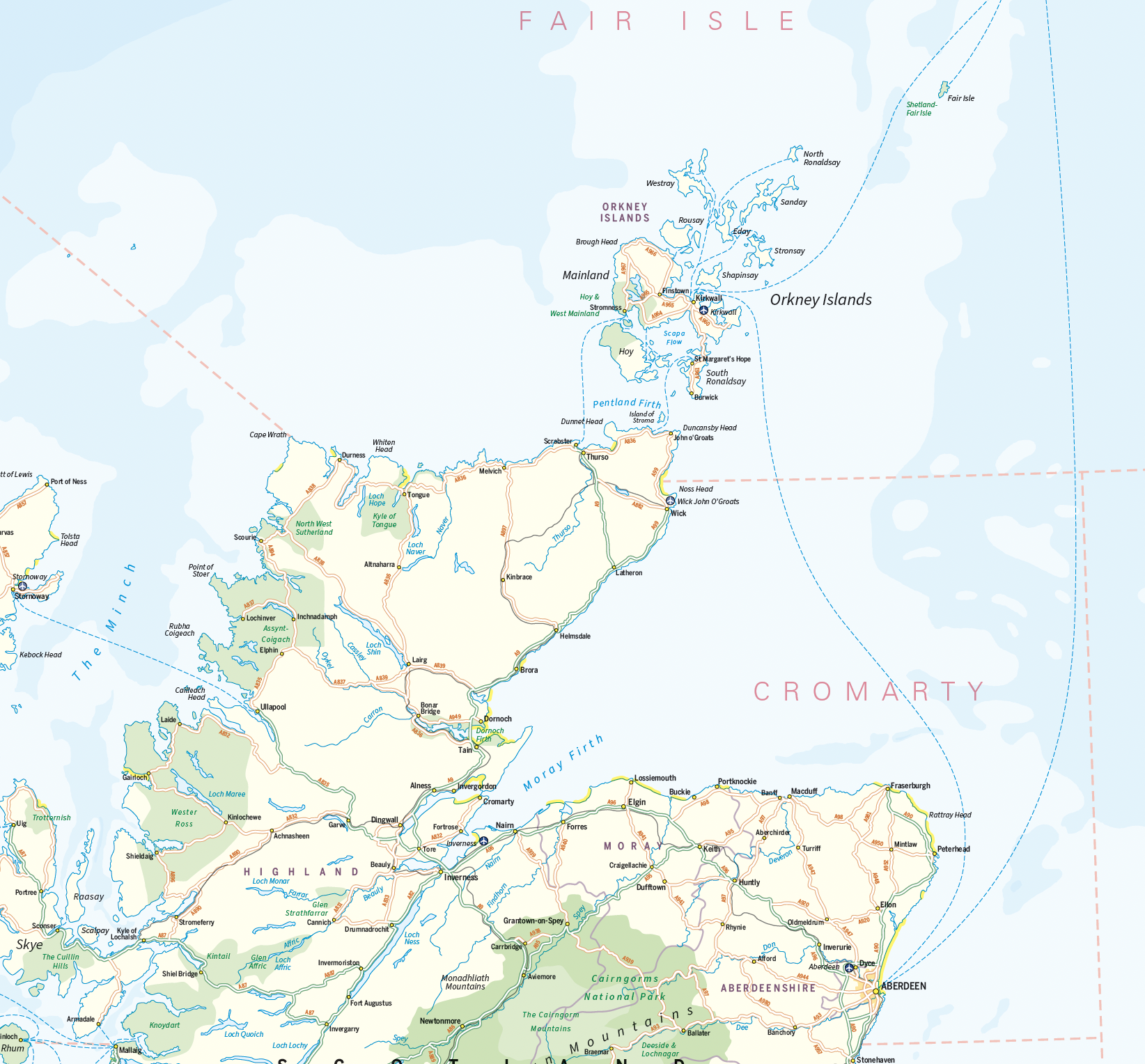
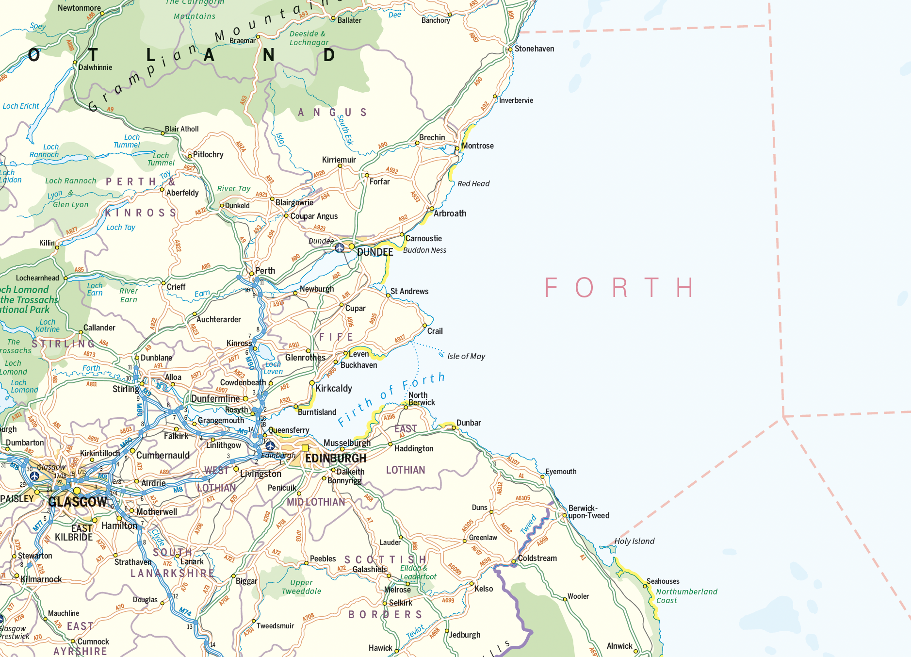
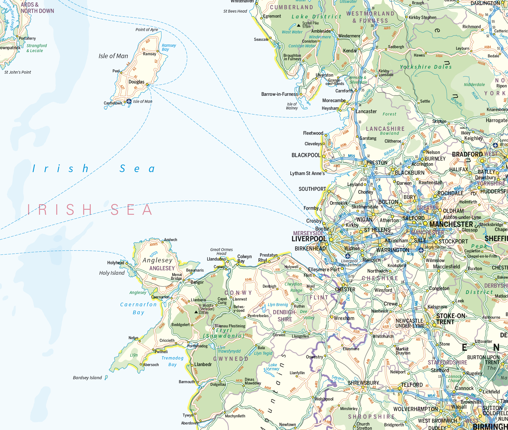
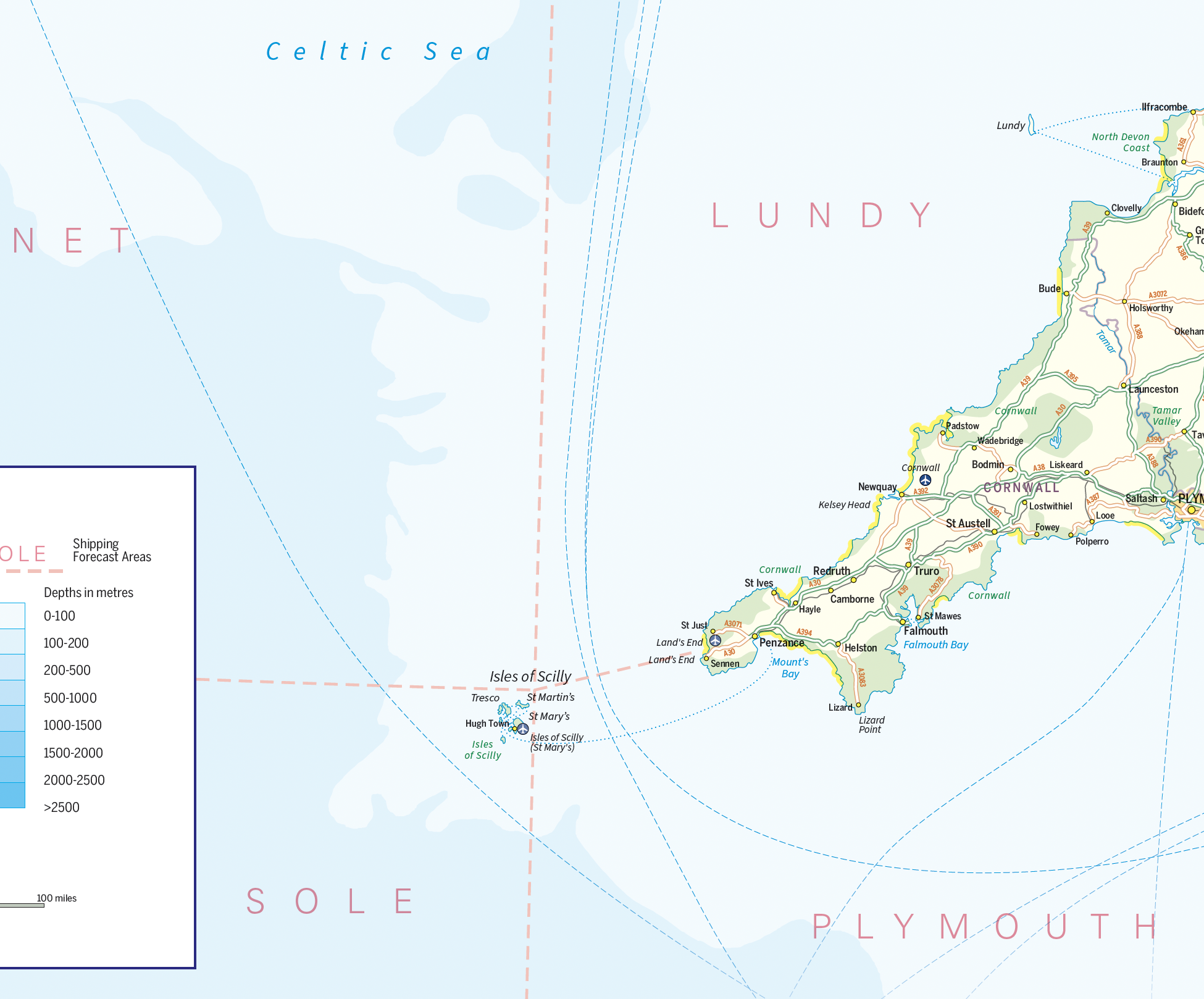
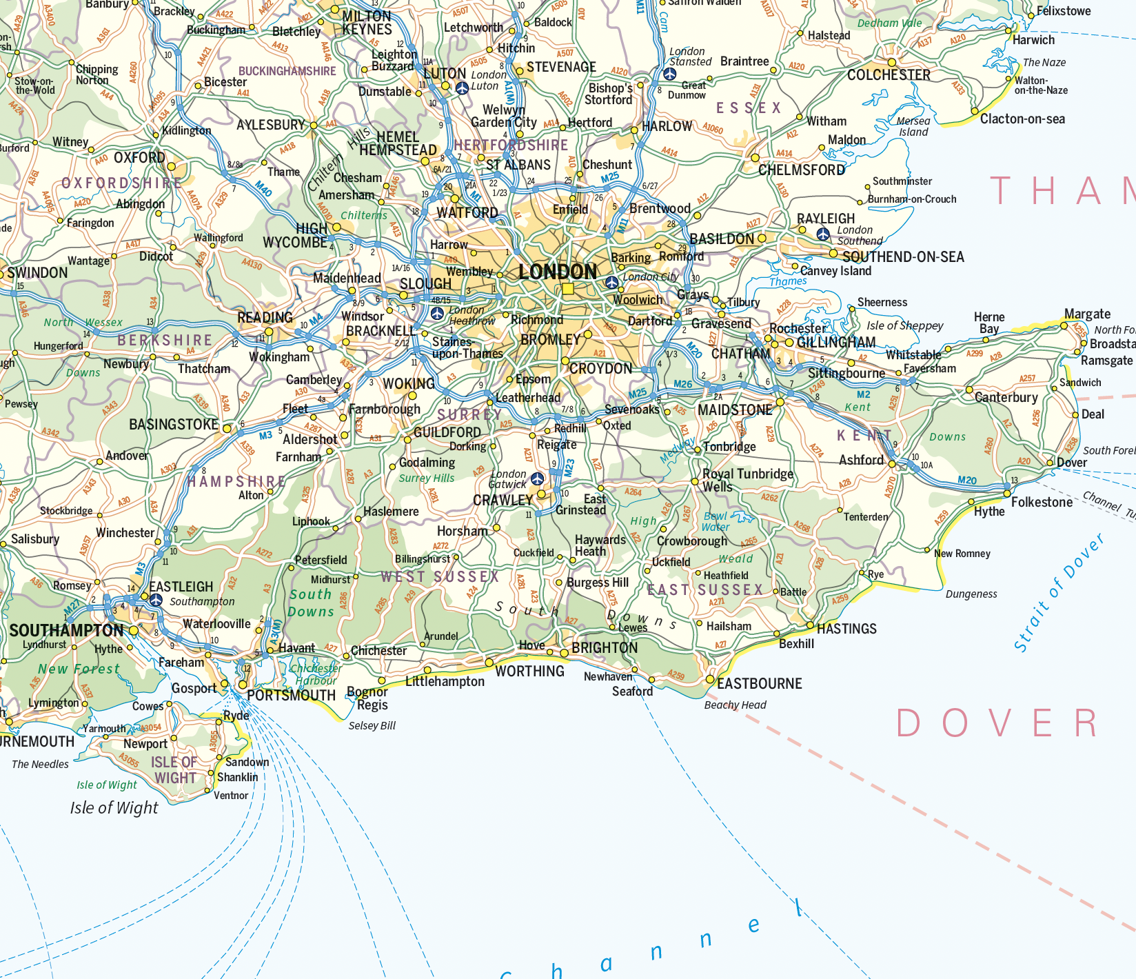
British Isles map with Shipping Forecast Areas
Price range: £18.99 through £115.50
Description
Description
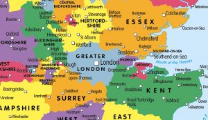
An informative and attractive map of the British Isles showing main roads, railways, ferries , counties, towns and cities by population, National Parks beaches and Areas of Outstanding Natural Beauty. Also includes the Shipping Forecast Areas and country stats and flags. Ideal for the office or home. Designed to be fully inclusive and designed to work for everyone, including those with colour vision deficiency (CVD).
Options are available for paper, laminated, canvas and mounted prints. Contact us for encapsulated or framed canvas prints and personalised versions.
Size 745mm x 1100mm Scale 1:1,250,000
Additional information
Additional information
| Weight | 9.75 kg |
|---|---|
| Please Select | Canvas (rolled), Gloss laminated, Laminated and mounted on 5mm Foam-X board, Laminated and mounted on 5mm Foam-X board with wall hangers, Matt laminated, Matt paper, Satin photo paper |
Reviews (0)
Related products
-

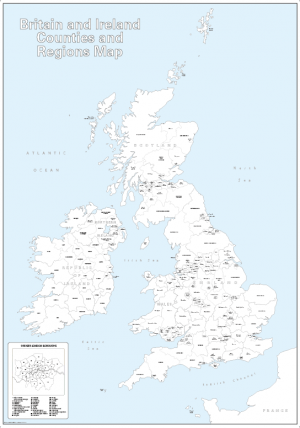
Britain and Ireland counties and regions map – small
Price range: £10.99 through £29.99 Select options This product has multiple variants. The options may be chosen on the product page -
Big Britain and Ireland counties and regions colouring map
Price range: £15.99 through £39.99 Select options This product has multiple variants. The options may be chosen on the product page -
Large British Isles map outline with borders
Price range: £12.99 through £19.99 Select options This product has multiple variants. The options may be chosen on the product page -
Children’s Britain and Ireland counties and regions map
Price range: £14.99 through £65.49 Select options This product has multiple variants. The options may be chosen on the product page
Reviews
There are no reviews yet.