British Isles Administrative Divisions
Price range: £18.99 through £115.50
Description
Description
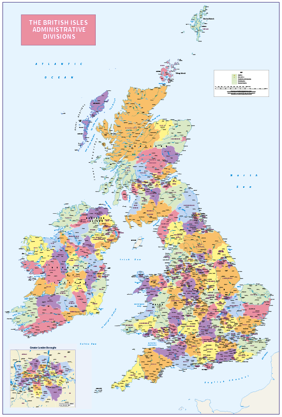
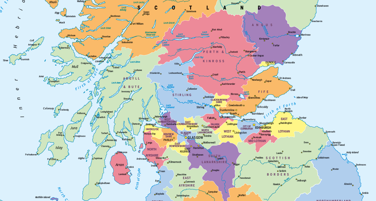
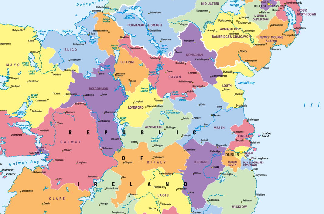
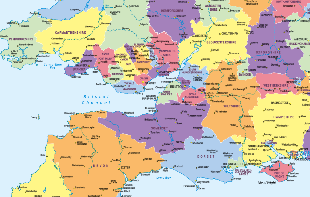
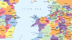
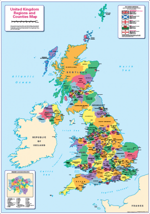
An informative and attractive map of the British Isles showing the administrative divisions. Clearly shows the counties and regions in the United Kingdom and Ireland. Ideal for the office or home. Designed to be fully inclusive and designed to work for everyone, including those with colour vision deficiency (CVD).
Options are available for paper, laminated, canvas and mounted prints. Contact us for encapsulated or framed canvas prints. Personalised versions are available, see listing.
Size 745mm x 1100mm Scale 1:1,250,000
Additional information
Additional information
| Weight | 9.75 kg |
|---|---|
| Please Select | Canvas (rolled), Gloss laminated, Laminated and mounted on 5mm Foam-X board, Laminated and mounted on 5mm Foam-X board with wall hangers, Matt laminated, Matt paper, Satin photo paper |
Reviews (0)
Related products
-
Britain and Ireland counties and regions map – small
Price range: £10.99 through £29.99 Select options This product has multiple variants. The options may be chosen on the product page -
Counties and Regions of in Britain and Ireland (colour blind friendly)
Price range: £14.99 through £65.49 Select options This product has multiple variants. The options may be chosen on the product page -
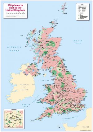
100 places to visit in the United Kingdom
Price range: £14.99 through £65.49 Select options This product has multiple variants. The options may be chosen on the product page -
Children’s United Kingdom counties and regions map
Price range: £14.99 through £65.49 Select options This product has multiple variants. The options may be chosen on the product page
Reviews
There are no reviews yet.