Australasia and Pacific Islands
£16.50 – £64.49
Description
Description
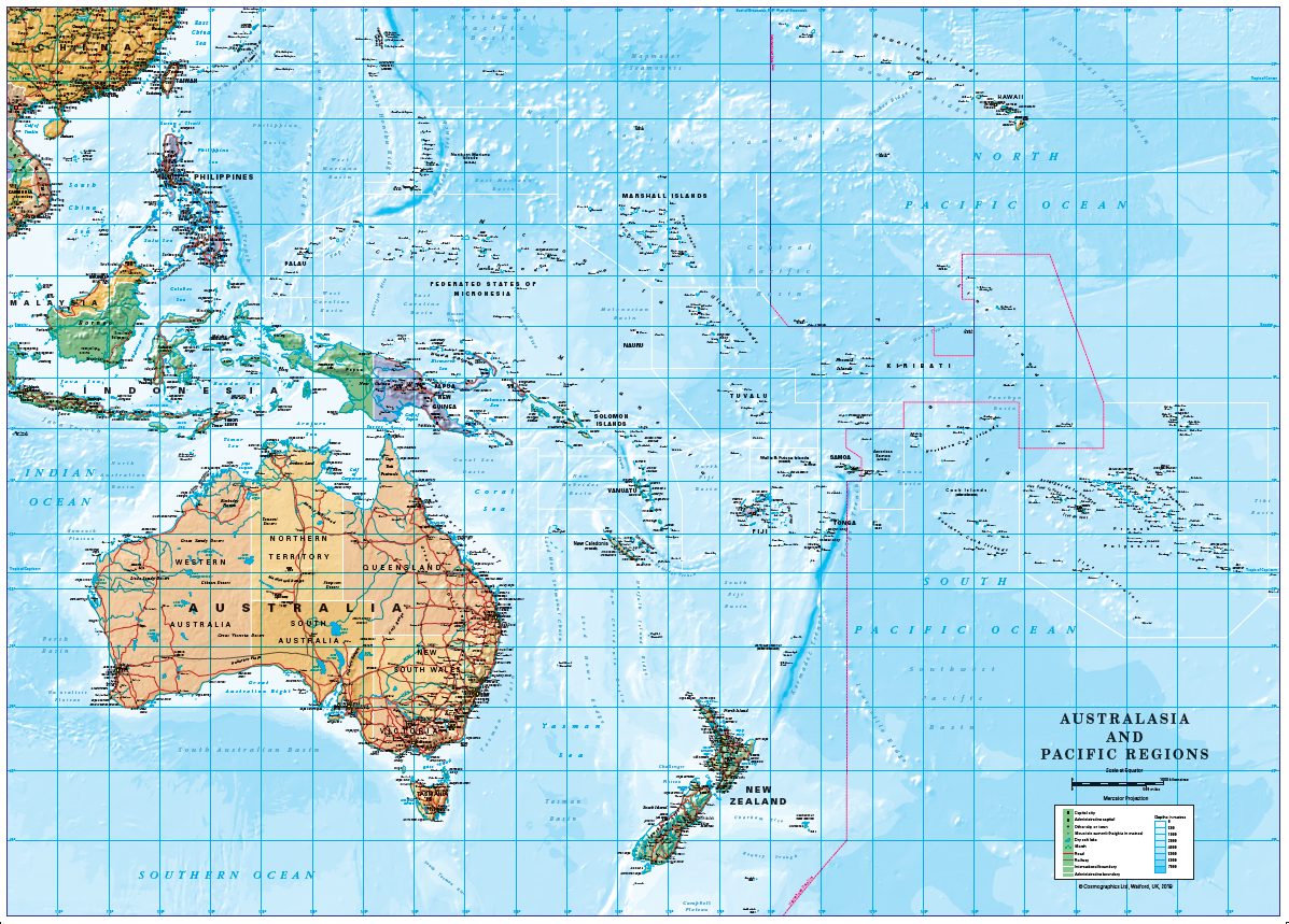
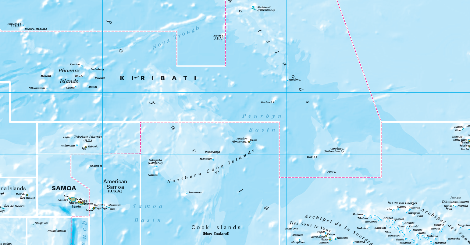
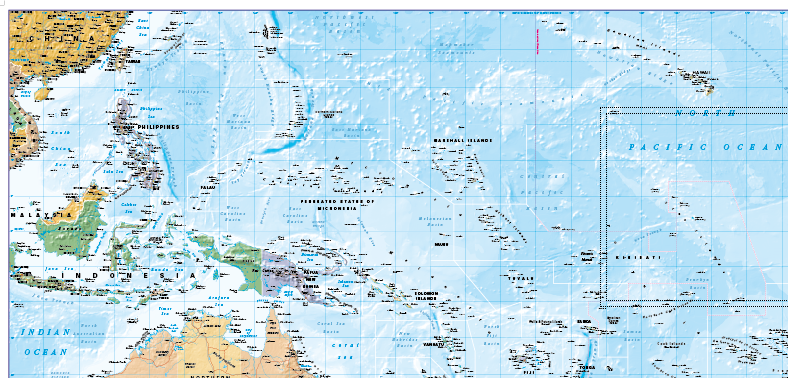
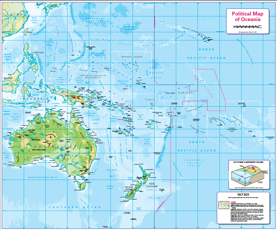
Political map of Australasia and the Pacific Region. Beautifully coloured, detailed mapping showing country borders both on land and at sea and the International dateline. All the islands are named along with capitals, mains cities and towns. The map includes hills on land and ocean depths. Ideal for the home or office. Note: Overseas delivery of mounted maps may cost more than specified, please contact us for price.
Scale 1:15 million ; Size 950 x 683mm
Additional information
Additional information
| Weight | 6 kg |
|---|---|
| Please Select | Canvas (rolled), Laminated and mounted on 5mm Foam-X board, Laminated and mounted on 5mm Foam-X board with wall hangers, Laminated print (with free stickers), Matt paper, Satin photo paper |
| Lamination (if laminated print is chosen) | Gloss, Matt, None |
Reviews (0)
Related products
-

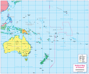
Physical map of Oceania – small wall map
£7.99 – £29.99 Select options This product has multiple variants. The options may be chosen on the product page -
Children’s political map of Oceania
£14.99 – £65.49 Select options This product has multiple variants. The options may be chosen on the product page -
Physical map of Oceania
£14.99 – £65.49 Select options This product has multiple variants. The options may be chosen on the product page -
Political map of Oceania – small wall map
£7.99 – £29.99 Select options This product has multiple variants. The options may be chosen on the product page
Reviews
There are no reviews yet.