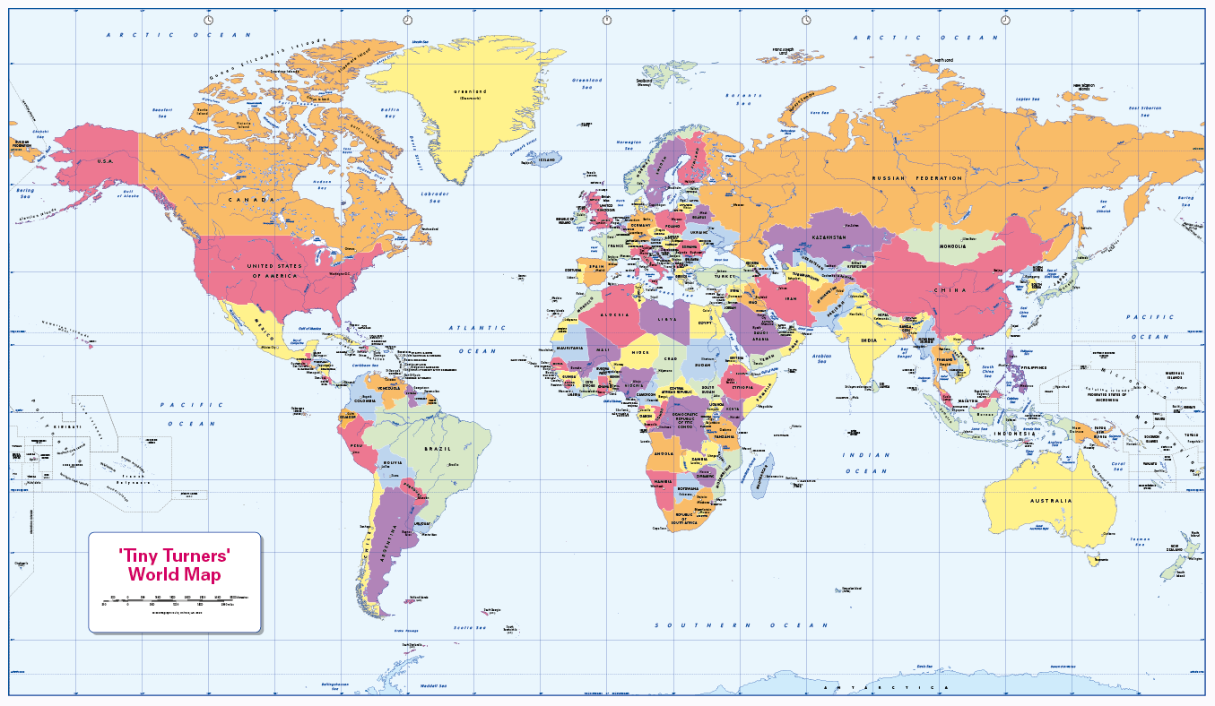
Personalised World Countries and Capitals map
Price range: £22.99 through £74.99
Description
Description
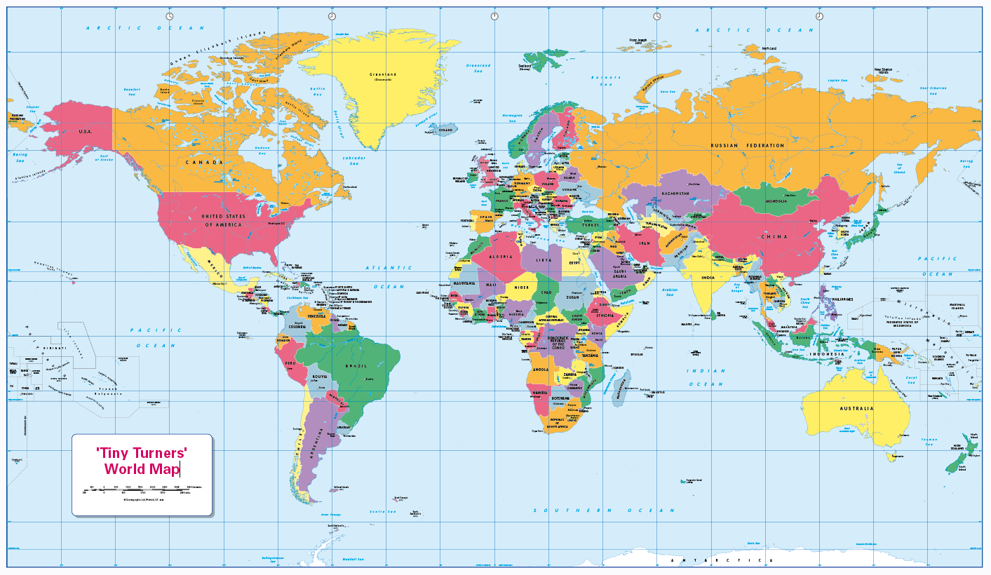
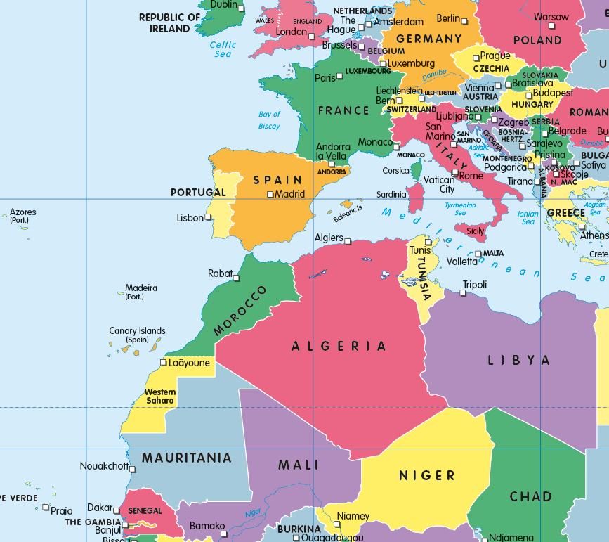
Personalise this easy to read politically coloured World map. Teach or learn about our world with this colourful, easy to read children’s world map showing countries and their capitals. The map also includes major rivers and lakes and the International date-line. Makes a great gift or map for the home. Printed on paper or canvas and can be laminated and mounted. Free pack of stickers (12 colours, 8 of each) with every laminated print. Contact us for encapsulated or framed canvas prints.
Scale 1:40 million, size 1020 x 595mm
Additional information
Additional information
| Weight | 6 kg |
|---|---|
| Please Select | Canvas (rolled), Gloss laminated, Laminated and mounted on 5mm Foam-X board, Laminated and mounted on 5mm Foam-X board with wall hangers, Matt laminated, Matt paper, Satin photo paper |
Reviews (1)
1 review for Personalised World Countries and Capitals map
Related products
-
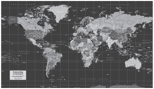
Personalised Black and White Map of the World
Price range: £26.99 through £75.49 Select options This product has multiple variants. The options may be chosen on the product page -
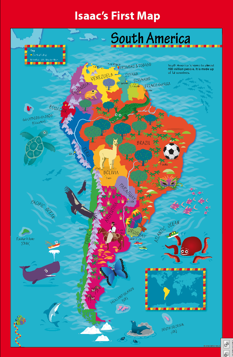
Personalised Children’s Picture Map of South America
Price range: £26.99 through £67.91 Select options This product has multiple variants. The options may be chosen on the product page -
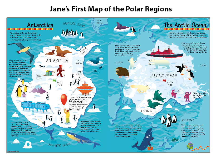
Personalised Children’s Picture Map of the Polar Regions
Price range: £26.99 through £67.91 Select options This product has multiple variants. The options may be chosen on the product page -
Personalised World Countries and Capitals map – colour blind friendly
Price range: £22.99 through £74.99 Select options This product has multiple variants. The options may be chosen on the product page
Julie Turner –
Lovely world map which I have bought as a present for my grandchildren. Prompt service, keen to help with personalisation (I wanted a different colour for this and they happily obliged) and when I had issues with delivery (not their fault at all!), these were sorted efficiently and promptly. Really happy with the quality of the laminated map which will be a fantastic teaching aid.