
 2")
Personalised World Countries and Capitals map – colour blind friendly
£22.99 – £74.99
Description
Description
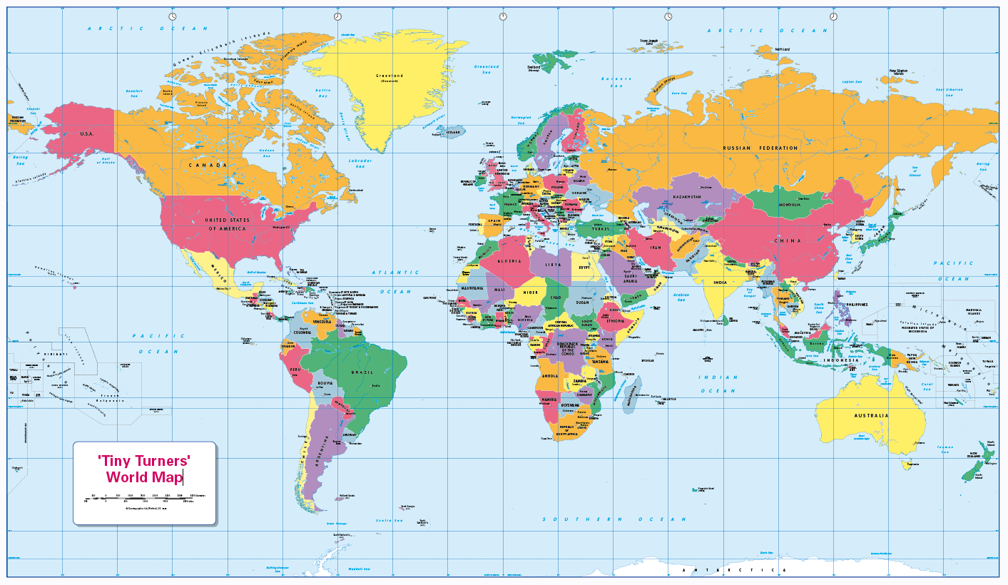
Personalise this colour blind friendly, easy to read politically coloured World map. Teach or learn about our world with this colourful, easy to read children’s world map showing countries and their capitals. The map also includes major rivers and lakes and the International date-line. Makes a great gift and it is ideal for the home or classroom as our colours work for everyone, including those with a form of colour vision deficiency (CVD). There is likely to be at least one child in every classroom that is colour blind , see here for more information. Printed on paper or canvas and can be laminated and mounted. A free pack of stickers (12 colours, 8 of each) with every laminated print. Contact us for encapsulated or framed canvas prints.
Scale 1:40 million, size 1020 x 595mm
Additional information
Additional information
| Weight | 6 kg |
|---|---|
| Please Select | Canvas (rolled), Gloss laminated (with free stickers), Laminated and mounted on 5mm Foam-X board, Laminated and mounted on 5mm Foam-X board with wall hangers, Matt laminated (with free stickers), Matt paper, Satin photo paper |
Reviews (0)
Related products
-
Personalised World Countries and Capitals map
£22.99 – £74.99 Select options -
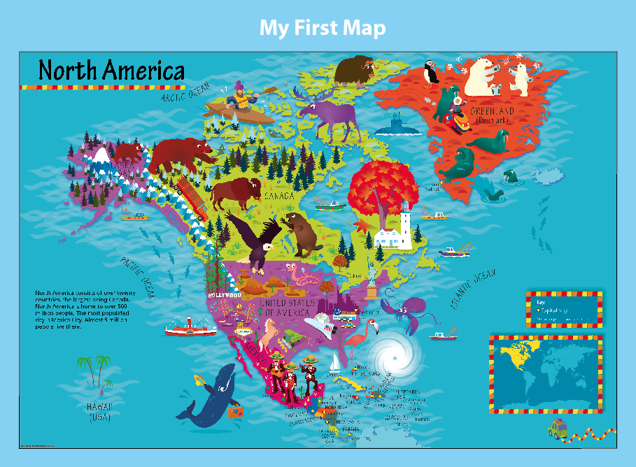
Personalised Children’s Picture Map of North America
£26.99 – £67.91 Select options -
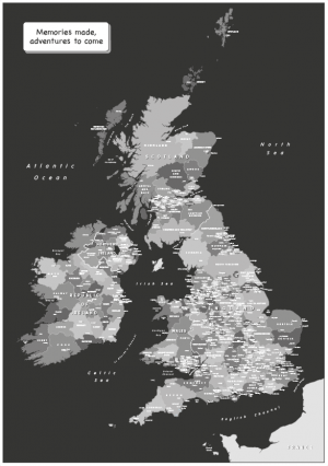
Personalised Black and White Map of the British Isles
£26.99 – £75.49 Select options -
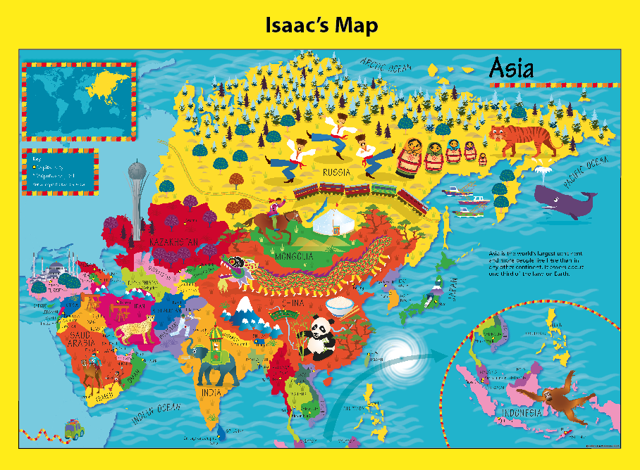
Personalised Children’s Picture Map of Asia
£26.99 – £67.91 Select options
Reviews
There are no reviews yet.