Set of 6 Children’s political continental maps – small
Price range: £89.98 through £149.99
Description
Description
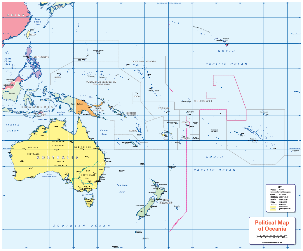
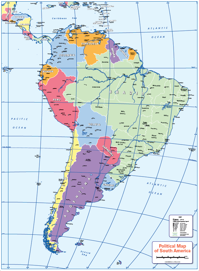
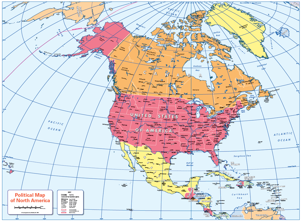
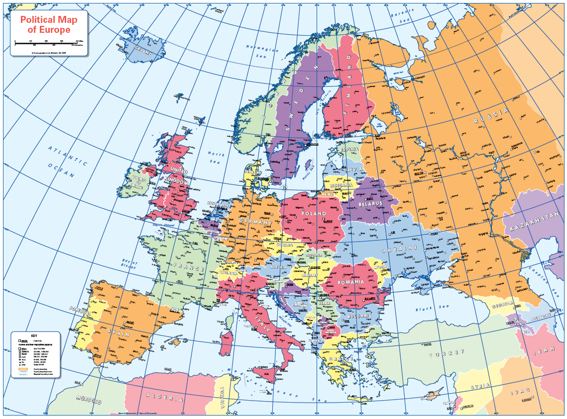
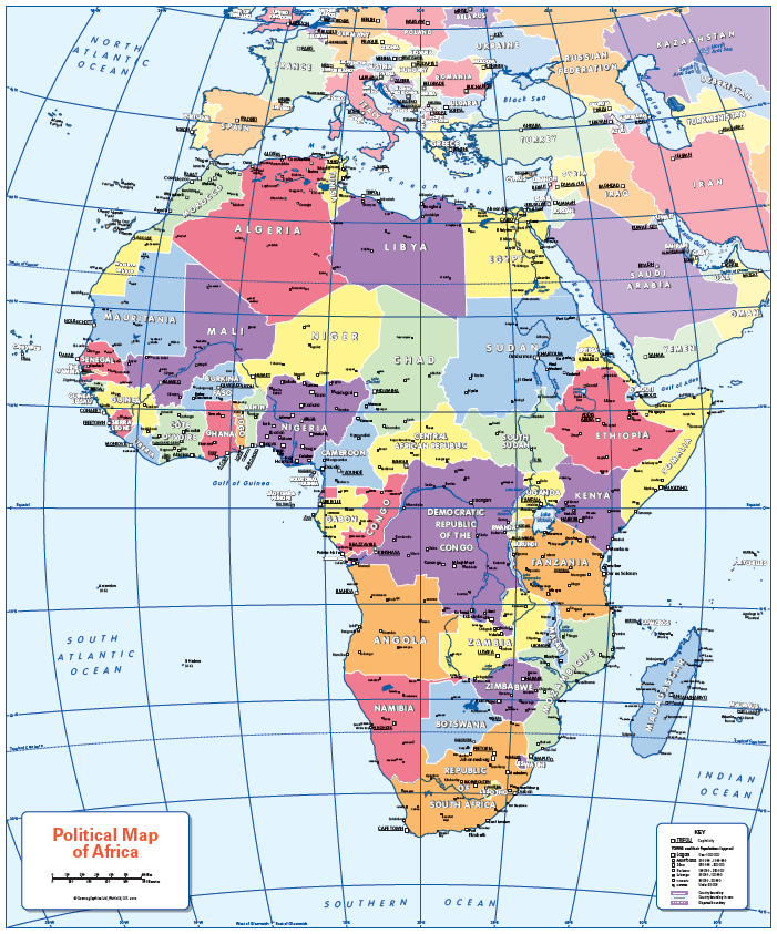
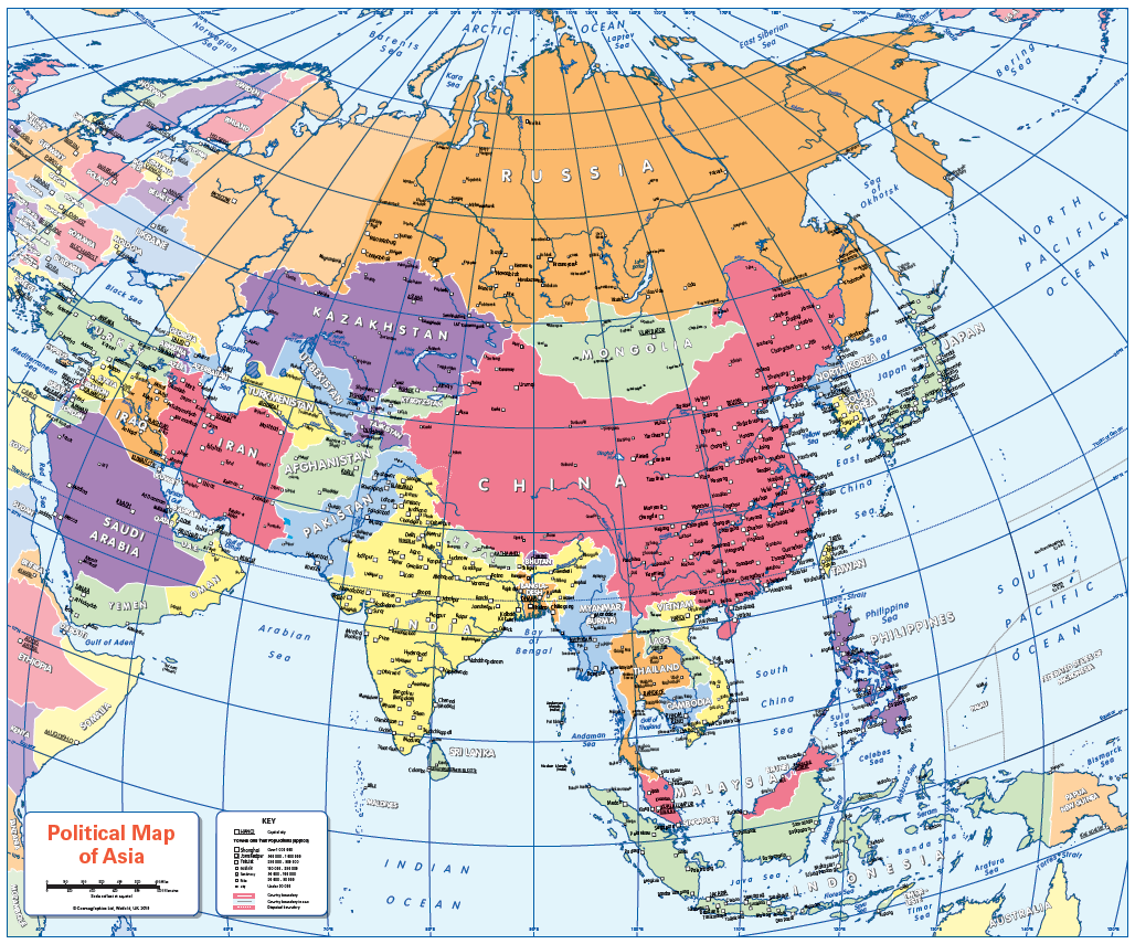
A set of six colourful, colour blind friendly, political continental maps. Maps of Europe, North America, South America, Africa, Asia and Oceania showing country borders, states, provinces, capitals and a selection of cities and towns. Ideal for the school classroom. Contact us for encapsulated prints. A pack of FREE stickers is included when you purchase laminated prints (96 stickers in 12 different colours).
Sizes: 500 x 370mm and 445 x 370mm
Additional information
Additional information
| Weight | 6 kg |
|---|---|
| Please Select | Laminated and mounted on 5mm Foam-X board, Laminated print, Matt paper, Satin photo paper |
| Lamination (if laminated print is chosen) | Gloss, Matt, None |
Reviews
There are no reviews yet.