

World Countries and Capital Cities
£14.99 – £65.49
Description
Description
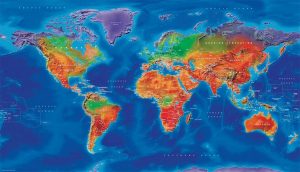
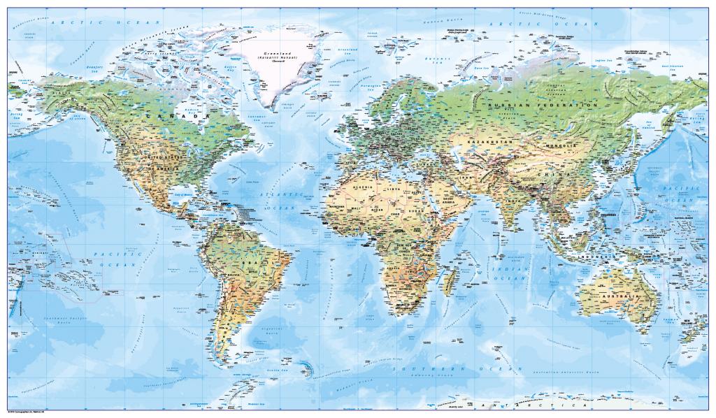
Learn your countries and their capitals. This colourful, easy to read children’s map of the world showing countries and their capitals, plus major rivers and lakes and the International date-line is ideal for the home or classroom. There is likely to be at least one child in every classroom that is colour blind. Our colours work for everyone, but the map is designed especially to work with any form of colour blindness. Contact us for encapsulated or framed canvas prints.
Scale 1:40 million; size 1020 x 595mm.
Additional information
Additional information
| Weight | 6 kg |
|---|---|
| Please Select | Canvas (rolled), Laminated and mounted on 5mm Foam-X board, Laminated and mounted on 5mm Foam-X board with wall hangers, Laminated print (with free stickers), Matt paper, Satin photo paper |
| Lamination (if laminated print is chosen) | Gloss, Matt, None |
Reviews
There are no reviews yet.